Marine, River and Transition Zone
From geohazard mapping to erosion studies to seafloor imaging, find out what’s beneath any body of water.
What we do: Marine, River and Transition Zone

Sub-Bottom Profiling
Detailed mapping of subsurface structure for dredging and wharf infrastructure including pile design:
- Depth to bedrock - Marine Seismic Reflection and Marine Seismic Refraction
- Determination of geotechnical parameters eg. indicative strength/ rippability, elastic moduli - Marine Seismic Refraction and Marine MASW
- Sediment thickness and mapping for dredgeability - Marine Seismic Reflection and Marine Seismic Refraction
- Calculation of dredging volumes - Marine Seismic Reflection
Seafloor Survey
Determination of seafloor conditions for risk mitigation, sedimentation and environmental feature mapping using Side Scan Sonar:
- Mapping for shipping hazards ie. reefs and bomboras
- Location of archaeological significant features (shipwrecks)
- Location of dumped rubbish i.e. car bodies, tyres
- Seafloor monitoring of sediment build up
- Environmental studies for habitat mapping
Magnetic Survey
Magnetometer and gradiometer surveys for UXO clearance, geological mapping and archaeological or environmental mapping:
- Locating buried debris e.g. anchors and unexploded ordnance
- Marine archaeological survey eg. shipwrecks
- Delineation of ore bodies or other magnetically susceptible geological units
Featured Work
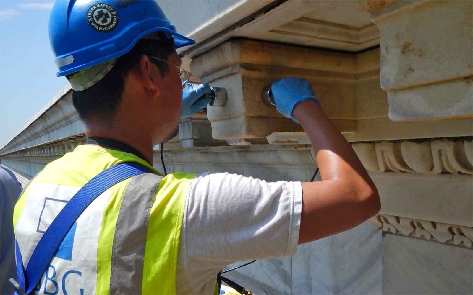
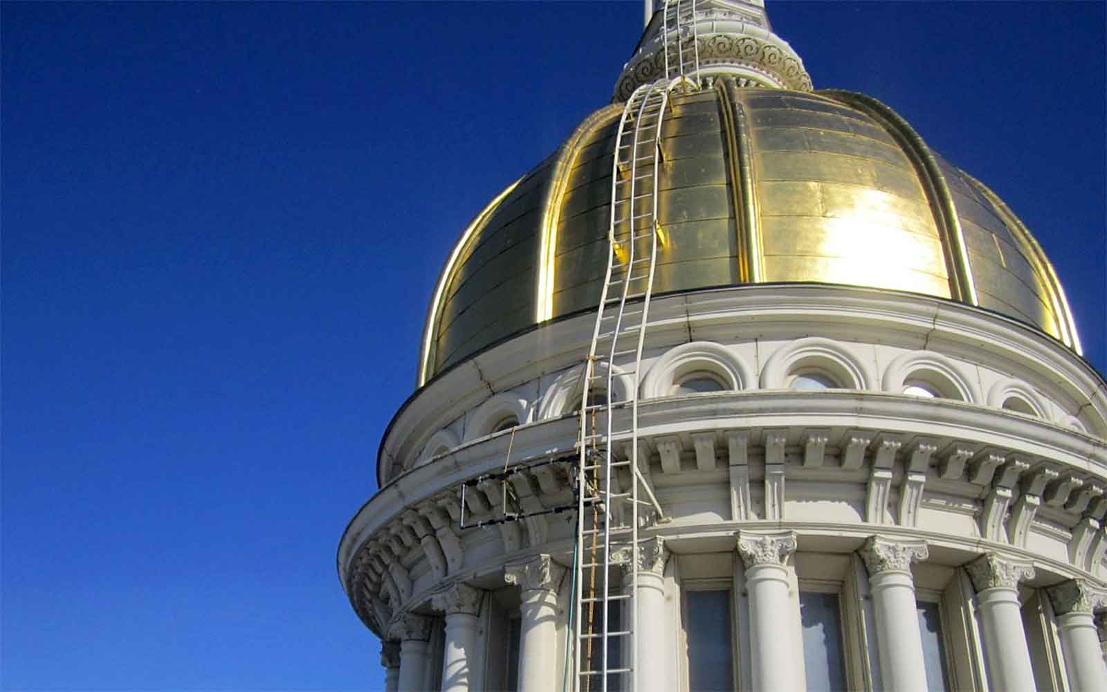
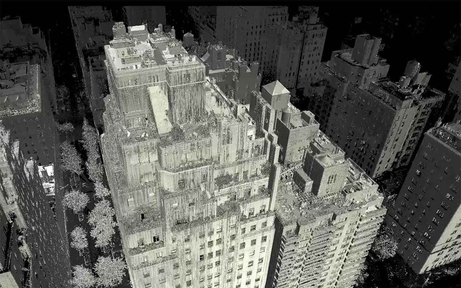
GBG investigates a wide range of structures from historically significant buildings to small private residences.


