Marine Seismic Refraction
Similar to conventional land-based seismic techniques, this method entails measuring the travel times of seismic compressional waves (P-waves) generated at the surface.
Applications
- Bedrock mapping
- Degree of sediment compaction
- Determination of geotechnical parameters (e.g. shear modulus)
- Void detection
- Liquefaction potential
- Subsurface profiling
- Imaging velocity inversions, where a hard layer overlies a softer layer
Method
In marine seismic refraction, much like the customary seismic procedures on land, the process involves gauging the time it takes for seismic compressional waves (P-waves) to travel. These waves initiate at the surface, navigate through the subsurface, and resurface after undergoing refraction at the interface between layers with distinct seismic velocities. The speed of seismic waves is dictated by the foundational characteristics of material elasticity and density present in their propagation path.
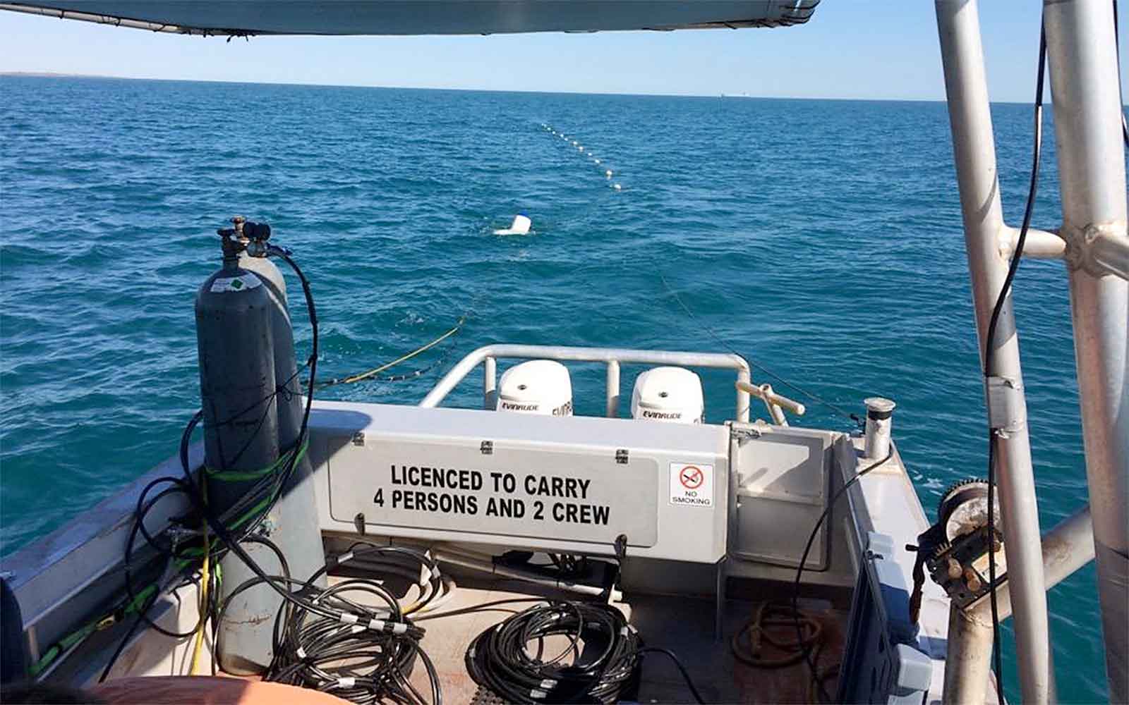
Usually, seismic energy comes to life in the aquatic realm through the discharge of an airgun, unleashing highly pressurized compressed air or nitrogen to form a distinctive signal. These seismic waves, once generated, navigate through the water at a consistent speed before delving into the depths of the subseafloor at a distinct velocity. Upon encountering a geological boundary characterized by an escalation in seismic velocity, the wave undergoes critical refraction at a specific angle and embarks on a journey atop the upper layer at an accelerated pace. This process instigates the creation of head waves in the upper layer, which ultimately resurface and are detected as vibrations by an ordered arrangement of geophones strategically spaced along regular intervals.
By gauging the travel durations of these refracted waves, emanating from diverse source points to multiple receptors, the seismic refraction technique can unveil lateral alterations in the distance to the upper boundary of a refracting interface, along with the seismic velocity within it. Additionally, given its correlation with elastic strength and density, the velocities derived from a seismic refraction survey offer valuable insights into the dredge ability of sub-seafloor materials.
Traditionally, the source and receptor array is towed in the vicinity of the surface, and subsequent removal of the water column during post-processing expedites acquisition without jeopardizing the equipment or the seafloor's integrity. Alternatively, the source and receptor array might be towed along the seafloor to enhance vertical resolution or positioned on the seafloor for a static array. However, both methods involving seafloor placement carry some inherent risks to equipment and features such as seagrasses.
Data Analysis & Presentation
The examination and interpretation of data from marine seismic refraction can be executed through the implementation of a layered model, presuming discrete refractive boundaries, or a tomographic approach, envisioning a gradual surge in seismic velocity with depth. Employing both methods concurrently yields a comprehensive geological model with enhanced details.
The result is a graphical representation displaying lateral fluctuations in the distance to diverse refracting interfaces and the respective seismic velocities embedded within them. When cross-referenced with core logs, this data can be associated with subsurface geological boundaries, proving particularly advantageous in the design of piles or dredging operations.
Featured Work
GBG explores a diverse array of structures, ranging from historically noteworthy edifices to compact private dwellings.


Enquire Now
Complete the form below, call us at +1 917 297 0913 (New York office), +1 805 393 2021 (Boulder CO office) or +1 310 745 9301 (Los Angeles office). A member of the team will respond ASAP to discuss your requirements.
Please note: GBG Group is compliant with the General Data Protection Regulation (GDPR). To learn more about how we collect, keep, and process your private information in compliance with GDPR, please view our privacy policy. *
Contact Us
