Unmarked Grave Location
Non-invasive testing is critical in the preservation of those that have passed. Find out the details of what’s needed for cultural heritage, buried remnant structures and other archaeologically significant features without disturbing them with us.

Archaeology and Cemetery Investigations
GBG Group has decades of experience locating unmarked graves. The purpose of unmarked grave location can vary, but generally fall under four main categories:
- Cemetery investigations to locate unused space for further burials
- Archaeological investigations to locate suspected graves or assist in targeting further excavations
- Duty of care investigations for land development and civil infrastructure projects to assist in planning to avoid disturbing sensitive remains
- Forensic investigations to assist law enforcement with locating buried remains or evidence
The main technique used by GBG Group is Ground Penetrating Radar (GPR). This technique is ideal for locating grave shafts that have disturbed the natural ground strata. For archaeological investigations other techniques such as Frequency Domain Electromagnetics (FDEM) are used as well.
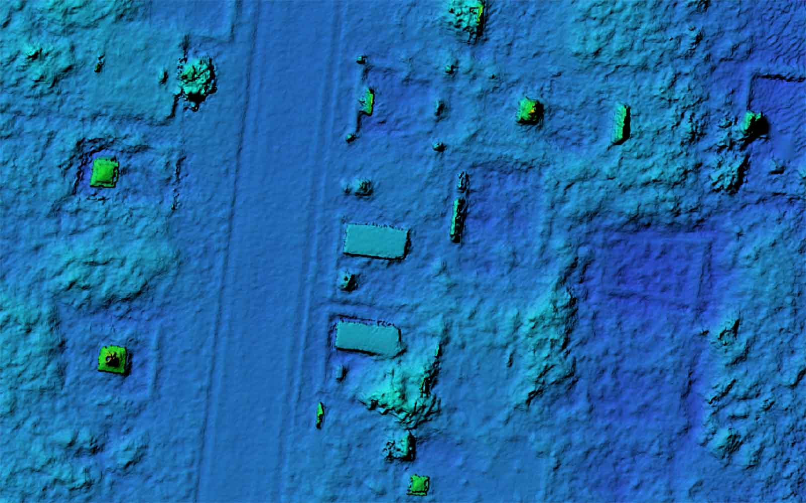
GBG is also pushing the limits of advancements in drone technology. New techniques are being developed to use a digital terrain model (DTM) to map the ground elevation quickly and accurately. This allows for not only existing cemetery infrastructure to be mapped accurately and rapidly but in some instances provides evidence of depressions formed by settling of back-filled graves. GBG Group has staff with pilot licences for drone flying to further enhance any unmarked grave survey. The featured image above is a Drone Captured DTM over a historic cemetery.
Featured Work
GBG investigates a wide range of structures from historically significant buildings to small private residences.


