Marine Magnetometry
Like land magnetometry, the passive geophysical technique is based on detecting variations in the total magnetic field of the underlying seafloor.
Applications
- Locate pipelines, undersea cables and bridge foundations
- Locate buried metallic debris such as anchors, unexploded ordnance and scrap metal
- Marine archaeological surveys
- Geological investigations to delineate ore bodies or other magnetically susceptible geological units
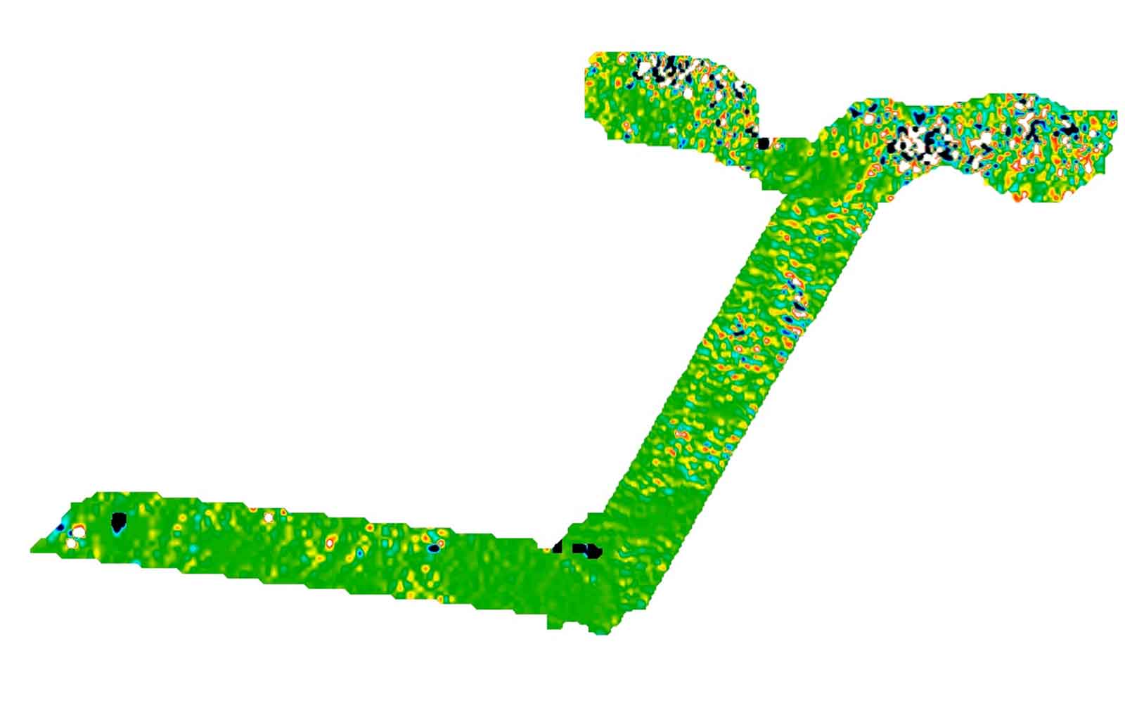
Method
Like land magnetometry, the passive geophysical technique is based on detecting variations in the total magnetic field of the underlying seafloor.
The magnetometer is typically towed about 2 to 2½ boat-lengths behind the boat, so the ship’s magnetic field does not interfere with the magnetic measurements. Any surface features that may have significant effect on the results are either omitted from the dataset or avoided to reduce contamination.
The layback of the magnetometer and its depth are recorded in the data file and the software corrects the position of the magnetometer automatically. The data is located using a high accuracy DGPS receiver on the boat. Detail is obtained by collecting data at a constant and slow pace at evenly spaced lines and along the same plane.
The technique has typically worked alongside seismic geophysics to provide additional information on bedrock and to image or monitor sediment built up.
Featured Work
GBG investigates a wide range of structures from historically significant buildings to small private residences.


Enquire Now
Complete the form below, call us at +1 917 297 0913 (New York office), +1 805 393 2021 (Boulder CO office) or +1 310 745 9301 (Los Angeles office). A member of the team will respond ASAP to discuss your requirements.
Please note: GBG Group is compliant with the General Data Protection Regulation (GDPR). To learn more about how we collect, keep, and process your private information in compliance with GDPR, please view our privacy policy. *
Contact Us
