Frequency-Domain Electromagnetics
Find out about the electrical properties in the subsurface for environmental assessments to the delineation of groundwater to infrastructure earthing designs.
Applications
- Mapping and monitoring groundwater pollution and inorganic contamination
- Assessment of leaking tailings storage facility and ponds
- Identifying saline intrusion
- Delineating the boundaries of landfills
- Mapping of uncontrolled fill including buried drums
- Archaeological (identification of buried infrastructure)
- Unexploded Ordnance detection
- Assessment of brownfield sites
- Utility mapping
- Locating underground storage tanks
Method
Electromagnetic (EM) surveying uses the principle of electromagnetic induction to measure changes in the electrical conductivity of the subsurface. Bulk subsurface conductivity is affected by variations in porosity and permeability, degree of saturation and fluid type, whilst discrete variations in conductivity allows for both the identification of bulk conductivity anomalies and discrete anomalies within a homogenous background.
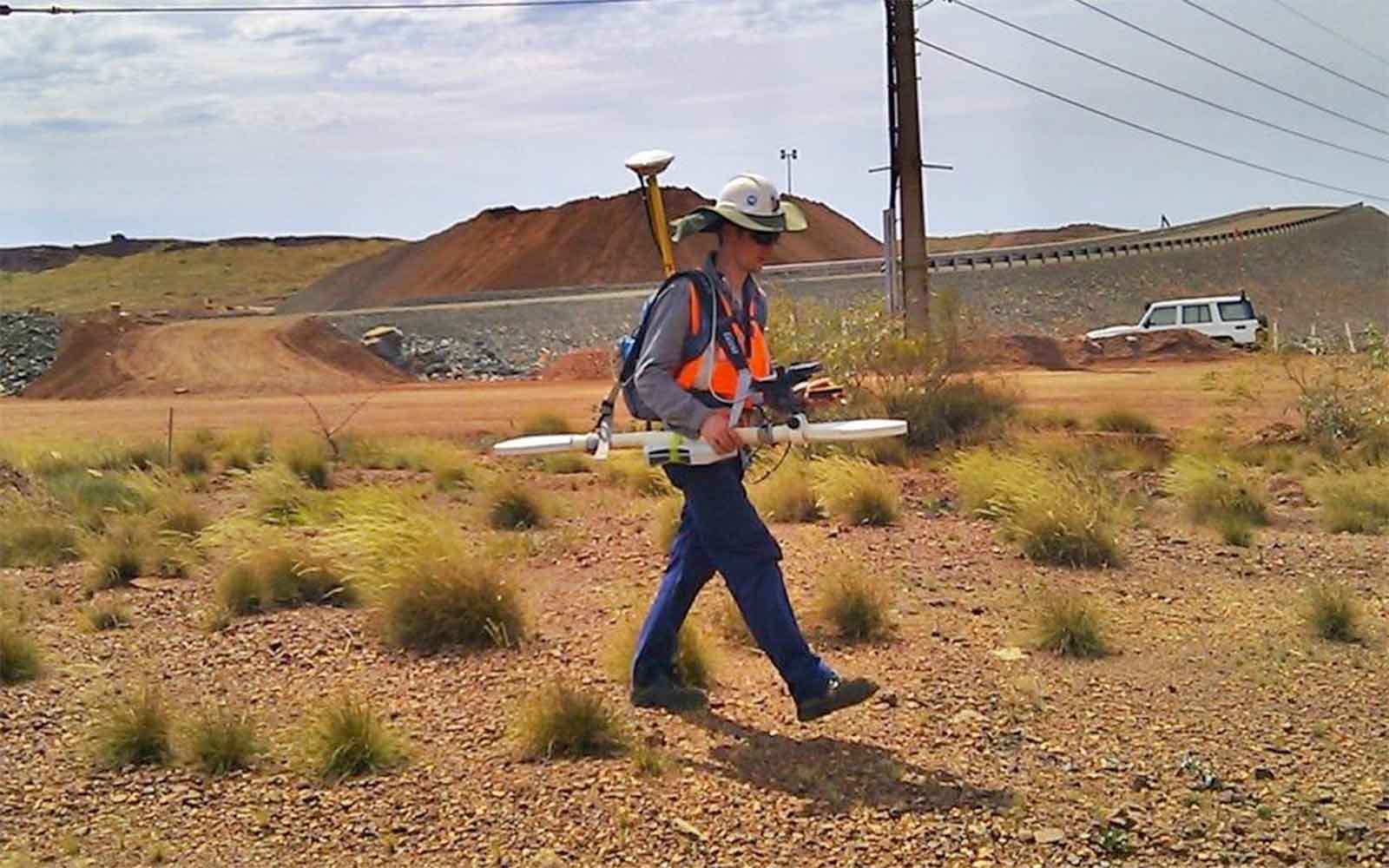
With the FDEM method, a primary magnetic field with an alternating electric current of known frequency and magnitude is situated at the ground surface through a transmitting coil. This induces turbulent electric currents (eddy currents) in the earth, the magnitude of which is directly proportional to the ground conductivity. These eddy currents result in an alternating secondary magnetic field that is detected by a receiving coil.
The nature and size of FEM instrumentation provide a means of quickly and efficiently collecting densely sampled data which is georeferenced to provide accurate conductivity maps of the site being investigated.
Data Analysis & Presentation
An FDEM reading is related to the electrical conductivity of the subsurface directly below the instrument, measured in apparent conductivity. The apparent conductivity can be correlated to conductivity measurement in milliSiemen/metre (mS/m). The results are presented as “heat maps” showing the variation of conductivity from the various transit frequencies chosen. These are analysed for targets of interest with spatial positioning, the approximate dimensions and depth being extracted.
The depth of exploration realised with the FDEM method is governed by the separation between the transmitting and receiving coils, the transmit frequency as well as the overall subsurface conductivity. Expressed in terms of skin depth, a maximum depth of penetration achievable typically is 20 metres below the surface level.
Featured Work
GBG investigates a wide range of structures from historically significant buildings to small private residences.


Enquire Now
Complete the form below, call us at +1 917 297 0913 (New York office), +1 805 393 2021 (Boulder CO office) or +1 310 745 9301 (Los Angeles office). A member of the team will respond ASAP to discuss your requirements.
Please note: GBG Group is compliant with the General Data Protection Regulation (GDPR). To learn more about how we collect, keep, and process your private information in compliance with GDPR, please view our privacy policy. *
Contact Us
